

Winter 2021
August 24th and 25th, 2021
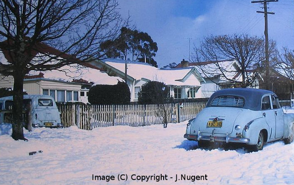
A really good outbreak for snow, even if it wasn't that cold initially. Blackheath recieved about 4cm to 5cm on Tuesday the 24th which melted down to about 2cm by nightfall. Then overnight and into Wednesday, we had more snow, which produced about another 5cm on top of the 2cm remaining. Its important to remember that snow showers are just frozen showers, so typically the western edge of town near the escarpment sees better snowfall accumulation (7cm in this instance) and the far eastern edge (barely 2cm) sees less.
The Oberon Plateau did very well with close to 30cm in some parts over 1200M. Snow also settled in Lithgow and Katoomba to a few cm. This system was not particulary cold through the layers of the atmosphere but those layers were saturated with moisture and the constant shower activity was one of the components that brought colder than imagined temperatures. We've had a few snowfalls in recent years in the 4cm to 5cm range but this may be the heaviest fall (just) since 2015, when we had around 17cm+. More on this event, as time permits.
August 4th, 2021
Some light falls on the Oberon Plateau and Sunny Corner, Yetholme etc, amounting to a few cm of settling. Blackheath had snow flurries at around 9am on the fourth but they did not last for very long.
July 25th, 2021
Well, that was a nice little snowfall for Blackheath on Sunday the 25th of July. Very light sleet and snowshowers actually commenced at around 4am to 5am and continued intermittently until 8am. Then, at around 8:30am, an area of thickening cloud left the Oberon Plateau and made its way to the Upper Mountains. Blackheath had lovely, quite intense snow showers for around half an hour and some snow settled to a depth of around 1cm or a little less.
The BoM Sydney sounding showed -28C at 500hPa, -8C at 700hPa and above 0C at 850hPa although this was before the coldest air arrived. I'd guess it was about -2C or even colder at 850hPa during our snowfall at 8:30am.
The Oberon Plateau did quite okay with a settling in the range of a few cm or perhaps a little more for some spots. Oberon township had a light settling. Sunny Corner also had a few cm on the ground. Bathurst, also had snow showers briefly on Sunday morning. Even Wentworth Falls, observed some sleet and wet snow.
I will add more info to this report as time permits or if its needed.
July 16th and 17th
This was a nice little system. It never looked like a super cold system with huge amounts of moisture but the potential was there for some nice snow shower activity. The highest places on the Oberon Plateau reported 6cm+ of settled snow on July 17. Sunny Corner, around 5cm. Shower activity intensified across Saturday and even the Blue Mountains experienced some nice snow showers a number of times during the day, that were always above 0C and for the most part, closer to 1C. Blackheath occasionally approached 0.5C and at times during the day, the snow showers were quite intense although settling here, was no more than a dusting at times. The BoM sounding for Saturday morning showed about -26C at 500hPa, -7C at 700hPa and about 0C at 850hPa so not a potent system for cold across the layers although it would likely have been colder than that during the passage of the front into Saturday afternoon. For most of Saturday, it was below 2C in Blackheath and only a brisk 0.4C at midday. Each time the snow and sleet showers eased off, the temperature would climb to a balmy 1.5C to 2C. The 'wind-chill' temperature during most of the day was in the -6C to -9C range.
June 9th and 10th
What a system this was. Certainly not the coldest event we've ever seen (it stayed mostly just above zero) but for the duration of cold and snow, it was very memorable. The Sydney sounding on Thursday showed around -30C at 500hPa, -10C at 700hpa and -2C at 850hPa. On Wednesday in Blackheath we had light snow showers at times but Thursday was always going to be the day with stronger snow potential and it didn't disappoint. From around 5am, light snow started to fall in Blackheath and very lightly accumulate by sunrise, not that we could see the sun. Gradually, throughout the morning, the snow became slightly heavier but never during this event, did heavy snow fall in Blackheath.
The snow showers actually continued all day Thursday, without any noticeable respite. Typically, it was at a light to occasionally moderate intensity. The most we recorded at the oval and across our yard was around 5cm to 6cm, as it was melting slightly during the day due to the relatively warm ground. Blackheath set a new record for its coldest day, with the Friday 9am reset coming in at 1.3C. This record (data set) is approximately thirty years old, based on the Mt Boyce AWS records but the much older Mt Victoria data from the old Selsdon Street observation site, shows a similar temperature on the 17th of August, 1970 of 1.1C. I'll add more to this report as time permits, it was such an extraondinary event
Dr Blair Trewin, a BoM climatologist has offered some preliminary numbers on this event. Thursday the 11th was the coldest day for Sydney (Observatory Hill) since July 1984 and for June, the coldest day since 1899. Probably the coldest day in western Sydney since July 1957. Cold extremes still occur but the ratio of warm to cold records is shifting in the range of 5 to 1 and up to 10 to 1.